Services - NGIT

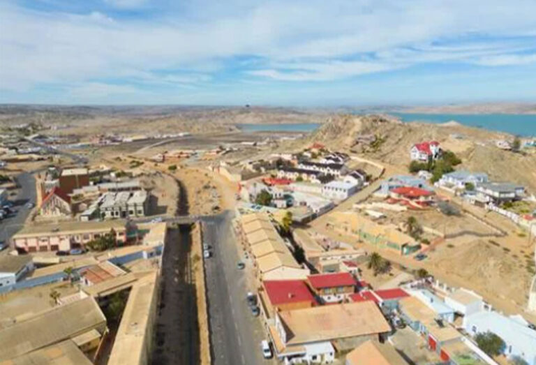
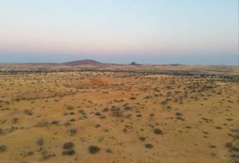
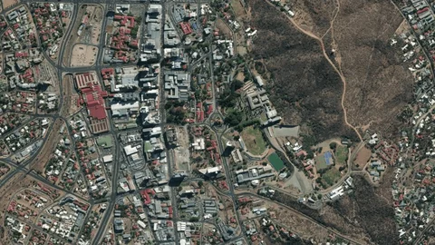
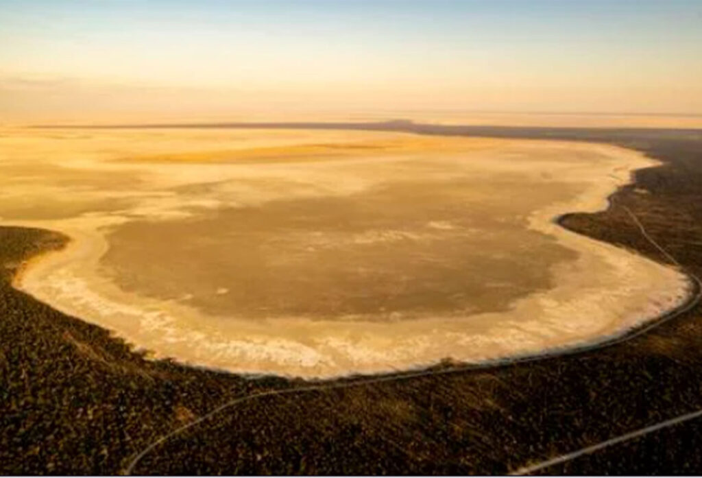
Explore NGIT’s professional services including GIS development, earth observation, remote sensing, mapping, space policy development, land information systems, IWRM, surveying, research, training, and drone-based data collection across Namibia.

Our wide range of services and products include:

NAMIBIA-GEOGRAPHICAL-INFORMATION-TECHNOLOGIES-windhoek

Space Science & Policy

Space program design, strategy and policy development. Space science project management. Space science and technology needs assessment

NAMIBIA-GEOGRAPHICAL-INFORMATION-TECHNOLOGIES-windhoek

GIS & Earth Observation

GIS and EO solutions development. Remote sensing techniques and visualisation. Digital atlas creation and management. Topographical and environmental mapping. Spatial data collection, analysis and management

NAMIBIA GEOGRAPHICAL INFORMATION TECHNOLOGIES

Land & Resource Management

Land Information Systems (LIS). Integrated Land Use Planning (ILUP). Integrated Water Resource Management (IWRM). Land administration and management. Mobile GPS support services

NAMIBIA GEOGRAPHICAL INFORMATION TECHNOLOGIES

Education, Research & Training

Education, training and research in GIS and Earth Observation. Curriculum development for higher education. Human capital development in space science and technology. Supervision and support for postgraduate research students. Short courses in GISc, Remote Sensing and Environmental Issues. Research on climate change, socio-economic and development needs

NAMIBIA-GEOGRAPHICAL-INFORMATION-TECHNOLOGIES
NAMIBIA GEOGRAPHICAL INFORMATION TECHNOLOGIES
NAMIBIA-GEOGRAPHICAL-INFORMATION-TECHNOLOGIES-windhoek

Including the following services

  • Curriculum development for degree programmes

  • Environmental & geological mapping

  • Land Information Systems (LIS) development

  • Digital atlas development

  • Human capital development for space science

  • Integrated Land Use Planning (ILUP)

  • Integrated Water Resource Management (IWRM)

  • Mobile GPS support services

  • Remote sensing techniques

  • Drone (UAV) research

  • Data collection, management & visualisation

  • Topographical mapping

  • Postgraduate research support

Scroll to Top